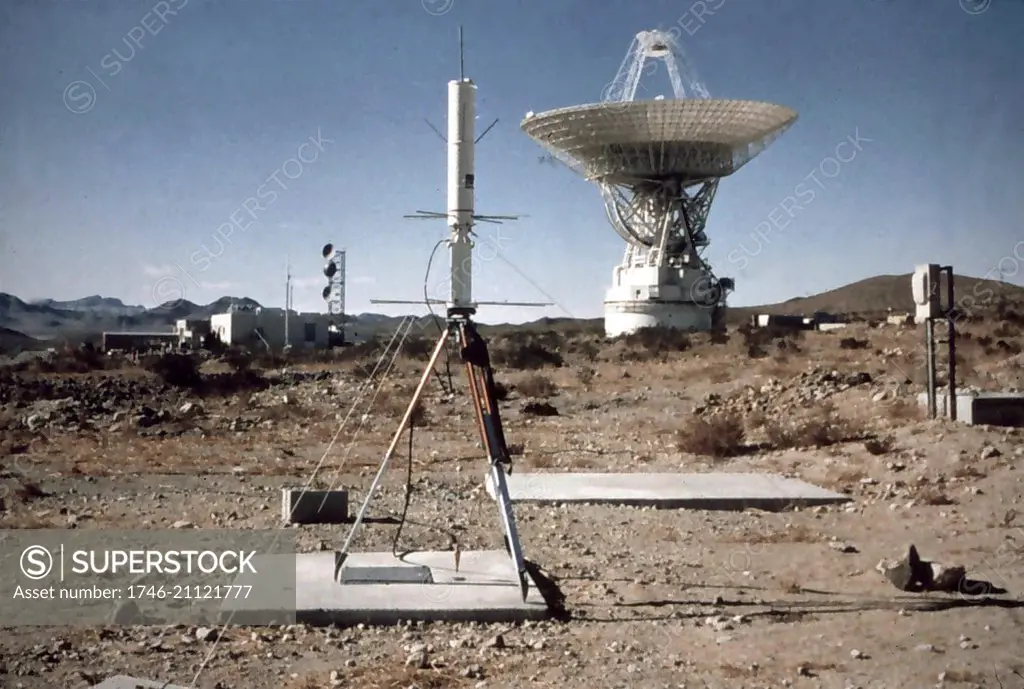
Use of Navy Transit satellite receiver. Determining latitude and longitude simultaneously 1980
SuperStock offers millions of photos, videos, and stock assets to creatives around the world. This image of Use of Navy Transit satellite receiver. Determining latitude and longitude simultaneously 1980 by Image Asset Management/World History Archive is available for licensing today.
Looking for a license?
Click here, and we'll help you find it! Questions? Just ask!
Click here, and we'll help you find it! Questions? Just ask!
DETAILS
Image Number: 1746-21121777Rights ManagedCredit Line:Image Asset Management/World History Archive/SuperStockCollection:Image Asset Management Model Release:NoProperty Release:NoResolution:5580×3759