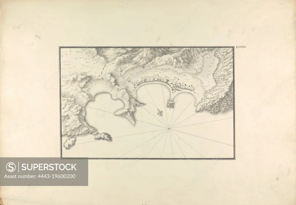
Topographical Map of Halicarnassus at its Harbor, Giovanni Battista Borra, 1713-1770, Italian, ca. 1750, Black ink with gray wash over graphite on moderately thick, moderately textured, beige laid paper, Sheet: 14 3/4 x 21 1/8 inches (37.4 x 53.7 cm) and Image: 8 1/16 x 12 3/8 inches (20.4 x 31.4 cm), aerial view, ancient Greek, architectural subject, cartographic material, harbor, landscape, topographic map, Asia, Ege kiyilari, Halicarnassus, Mugla Ili, Turkey
SuperStock offers millions of photos, videos, and stock assets to creatives around the world. This image of Topographical Map of Halicarnassus at its Harbor, Giovanni Battista Borra, 1713-1770, Italian, ca. 1750, Black ink with gray wash over graphite on moderately thick, moderately textured, beige laid paper, Sheet: 14 3/4 x 21 1/8 inches (37.4 x 53.7 cm) and Image: 8 1/16 x 12 3/8 inches (20.4 x 31.4 cm), aerial view, ancient Greek, architectural subject, cartographic material, harbor, landscape, topographic map, Asia, Ege kiyilari, Halicarnassus, Mugla Ili, Turkey by Artokoloro is available for licensing today.
Looking for a license?
Click here, and we'll help you find it! Questions? Just ask!
Click here, and we'll help you find it! Questions? Just ask!
DETAILS
Image Number: 4443-19600200Rights ManagedCredit Line:Artokoloro/SuperStockCollection:Artokoloro Model Release:NoProperty Release:NoResolution:4992×3463