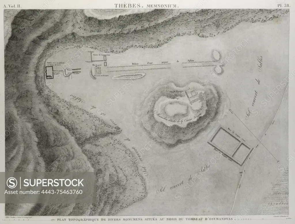
A topographic map titled 'Thèbes. Memnonium Ramesseum. Plan topographique de divers monumens située au nord du tombeau d'Osymandyas.' Issued between 1809 and 1828 in Paris by Impr. impériale. The map measures 51 x 70 cm and depicts the area north of the tomb of Osymandyas, featuring various monuments in Thebes, specifically around the Ramesseum
SuperStock offers millions of photos, videos, and stock assets to creatives around the world. This image of A topographic map titled 'Thèbes. Memnonium Ramesseum. Plan topographique de divers monumens située au nord du tombeau d'Osymandyas.' Issued between 1809 and 1828 in Paris by Impr. impériale. The map measures 51 x 70 cm and depicts the area north of the tomb of Osymandyas, featuring various monuments in Thebes, specifically around the Ramesseum by Artokoloro is available for licensing today.
Looking for a license?
Click here, and we'll help you find it! Questions? Just ask!
Click here, and we'll help you find it! Questions? Just ask!
DETAILS
Image Number: 4443-75463760Rights ManagedCredit Line:Artokoloro/SuperStockCollection:Artokoloro Model Release:NoProperty Release:NoResolution:5269×4010