1814 Thomson Map of the Atlantic Ocean
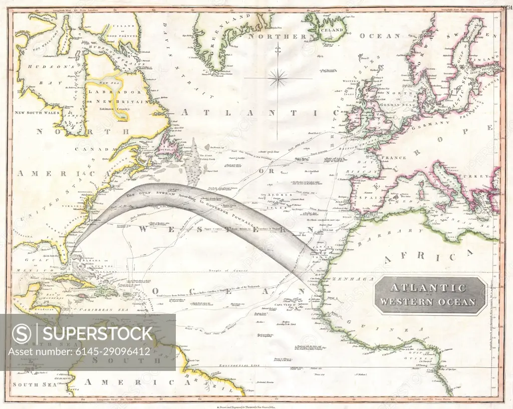
SuperStock offers millions of photos, videos, and stock assets to creatives around the world. This image of Explore Historic Cartography: Vintage Map of the Eastern Atlantic Ocean Depicting 19th-Century Navigation Routes by Piemags/PL Photography Limited is available for licensing today.
DETAILS
Image Number: 6145-29096412Royalty FreeCredit Line:Piemags/PL Photography Limited/SuperStockCollection: