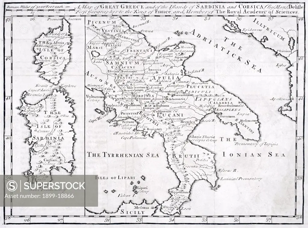
19th century Map of Great Greece and of the Islands of Sardina and Corsica by Guillaume Delisle 1675 to 1726
SuperStock offers millions of photos, videos, and stock assets to creatives around the world. This image of 19th century Map of Great Greece and of the Islands of Sardina and Corsica by Guillaume Delisle 1675 to 1726 by Universal Images is available for licensing today.
Looking for a license?
Click here, and we'll help you find it! Questions? Just ask!
Click here, and we'll help you find it! Questions? Just ask!
DETAILS
Image Number: 1899-18866Rights ManagedCredit Line:Universal Images/SuperStockCollection:Universal Images Model Release:NoProperty Release:NoResolution:5110×3789