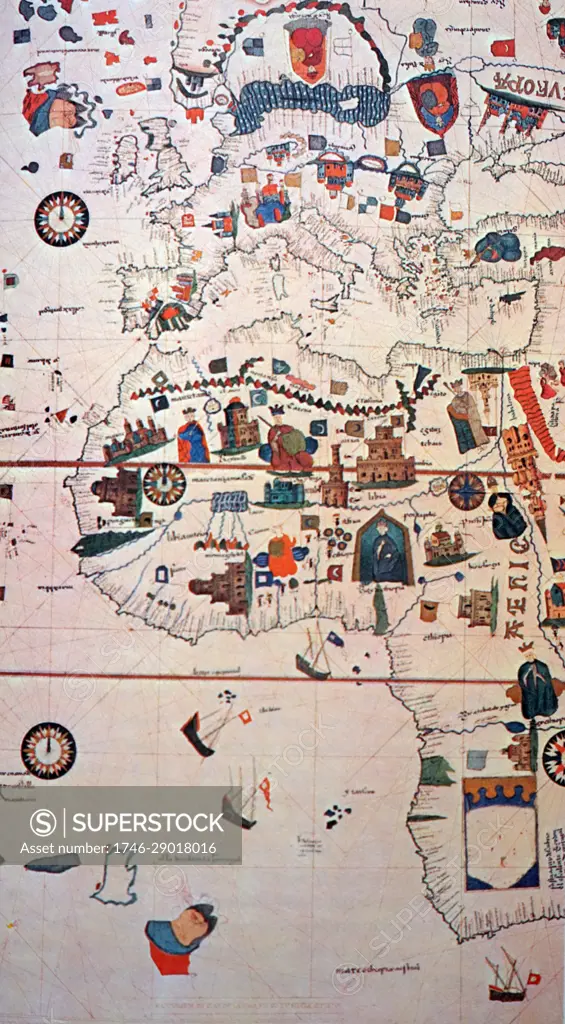
16th Century map depicting Africa and the Mediterranean Basin by Juan de la Cosa. Juan de la Cosa (1450-1510) a Spanish navigator and cartographer, known for designing the earliest European world map that incorporated the territories of the Americas that were discovered during the 15th Century. Dated 15th Century
SuperStock offers millions of photos, videos, and stock assets to creatives around the world. This image of 16th Century map depicting Africa and the Mediterranean Basin by Juan de la Cosa. Juan de la Cosa (1450-1510) a Spanish navigator and cartographer, known for designing the earliest European world map that incorporated the territories of the Americas that were discovered during the 15th Century. Dated 15th Century by World History Archive/Image Asset Management is available for licensing today.
Looking for a license?
Click here, and we'll help you find it! Questions? Just ask!
Click here, and we'll help you find it! Questions? Just ask!
DETAILS
Image Number: 1746-29018016Rights ManagedCredit Line:World History Archive/Image Asset Management/SuperStockCollection:Image Asset Management Contributor:World History Archive Model Release:NoProperty Release:NoResolution:3402×6165