1802 Tardieu Map of Santo Domingo or Hispaniola, West Indies
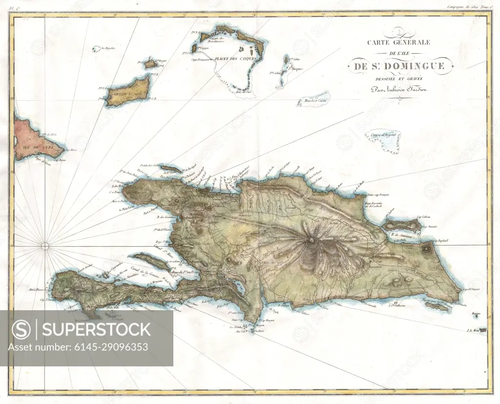
SuperStock offers millions of photos, videos, and stock assets to creatives around the world. This image of Antique Map of Hispaniola: Discover Historical Insights and Geographic Details of Saint-Domingue. by Piemags/PL Photography Limited is available for licensing today.
Looking for a license?
Click here, and we'll help you find it! Questions? Just ask!
Click here, and we'll help you find it! Questions? Just ask!
DETAILS
Image Number: 6145-29096353Royalty FreeCredit Line:Piemags/PL Photography Limited/SuperStockCollection:PL Photography Limited Contributor:Piemags Model Release:NoProperty Release:NoResolution:4000×3234