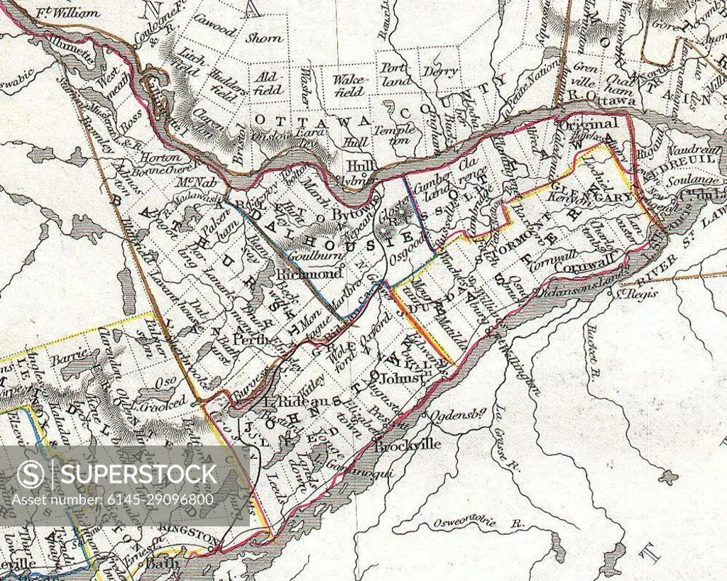
1850 Tallis Map of West Canada or Ontario (cropped - Eastern Ontario)
SuperStock offers millions of photos, videos, and stock assets to creatives around the world. This image of Explore Historical Ottawa County with this Vintage Map: A Glimpse into 19th Century Geography and Town Layouts by Piemags/PL Photography Limited is available for licensing today.
Looking for a license?
Click here, and we'll help you find it! Questions? Just ask!
Click here, and we'll help you find it! Questions? Just ask!
DETAILS
Image Number: 6145-29096800Royalty FreeCredit Line:Piemags/PL Photography Limited/SuperStockCollection:PL Photography Limited Contributor:Piemags Model Release:NoProperty Release:NoResolution:1000×800