Surveyor working with a GPS instrument, taking data from the surface
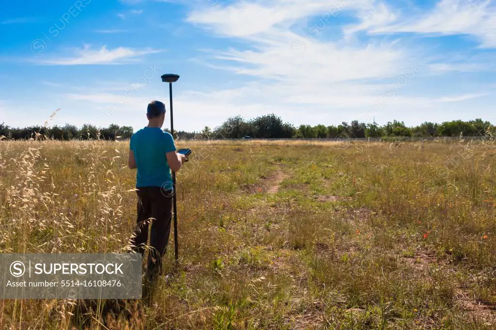
SuperStock offers millions of photos, videos, and stock assets to creatives around the world. This image of Surveyor Using GPS Equipment in Open Field: Advanced Land Mapping and Geolocation Technology by GustavoMunoz/Cavan Images is available for licensing today.
Looking for a license?
Click here, and we'll help you find it! Questions? Just ask!
Click here, and we'll help you find it! Questions? Just ask!
DETAILS
Image Number: 5514-16108476Royalty FreeCredit Line:GustavoMunoz/Cavan Images/SuperStockCollection:Cavan Images Contributor:GustavoMunoz Model Release:YesProperty Release:NoResolution:5472×3648