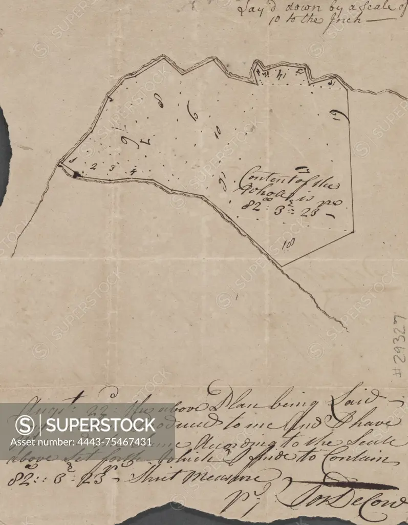
Survey map of land owned by Samuel Davenport, created by Joseph DeCow in 1752. The map measures 40 x 45 cm or smaller and pertains to real property in New Jersey
SuperStock offers millions of photos, videos, and stock assets to creatives around the world. This image of Survey map of land owned by Samuel Davenport, created by Joseph DeCow in 1752. The map measures 40 x 45 cm or smaller and pertains to real property in New Jersey by Artokoloro is available for licensing today.
Looking for a license?
Click here, and we'll help you find it! Questions? Just ask!
Click here, and we'll help you find it! Questions? Just ask!
DETAILS
Image Number: 4443-75467431Rights ManagedCredit Line:Artokoloro/SuperStockCollection:Artokoloro Model Release:NoProperty Release:NoResolution:5143×6607