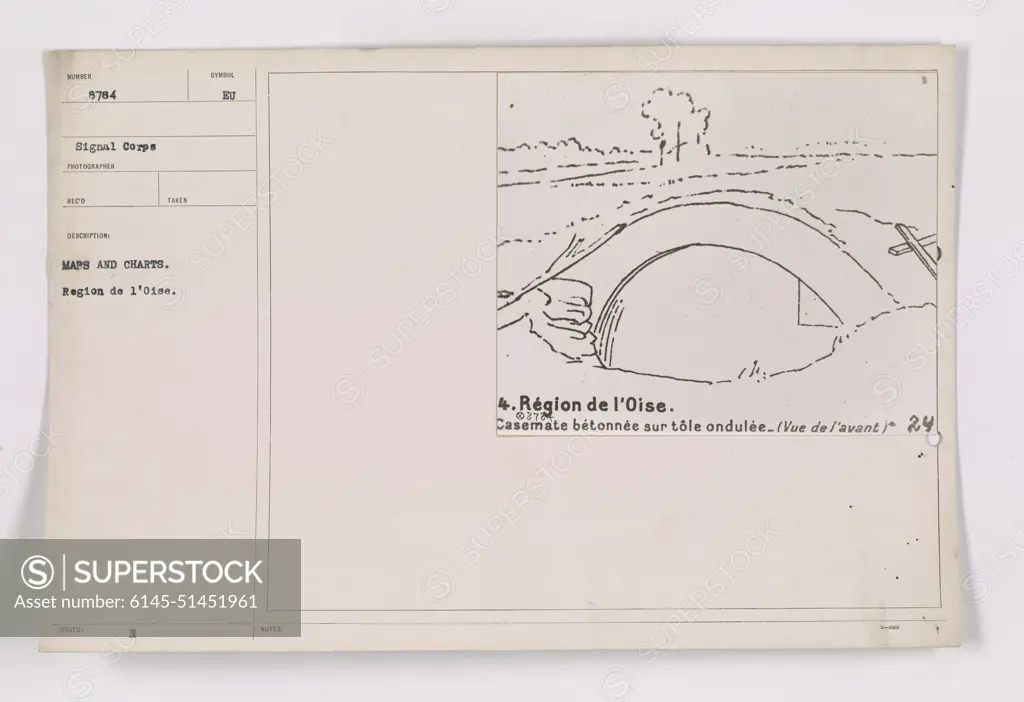
A soldier examines maps and charts in the Region de l'Oise during World War I. The maps and charts were valuable tools for planning and executing military operations in the area. The soldier is seen studying the maps, perhaps gathering information before an important mission.
SuperStock offers millions of photos, videos, and stock assets to creatives around the world. This image of A soldier examines maps and charts in the Region de l'Oise during World War I. The maps and charts were valuable tools for planning and executing military operations in the area. The soldier is seen studying the maps, perhaps gathering information before an important mission. by PL Photography Limited is available for licensing today.
Looking for a license?
Click here, and we'll help you find it! Questions? Just ask!
Click here, and we'll help you find it! Questions? Just ask!
DETAILS
Image Number: 6145-51451961Royalty FreeCredit Line:PL Photography Limited/SuperStockCollection:PL Photography Limited Model Release:NoProperty Release:NoResolution:9177×6297