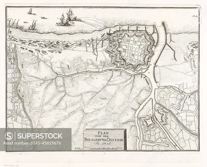
Siege from Ostend, 1706; Plan von der Belaborung Ostende Ao. 1706. Map of the Siege of Ostend by the Allies under Mr. Van Ouwerkerk, the city was conquered on July 6, 1706. Details in the show marked with figures and letters but a legend is missing.
SuperStock offers millions of photos, videos, and stock assets to creatives around the world. This image of Siege from Ostend, 1706; Plan von der Belaborung Ostende Ao. 1706. Map of the Siege of Ostend by the Allies under Mr. Van Ouwerkerk, the city was conquered on July 6, 1706. Details in the show marked with figures and letters but a legend is missing. by Piemags/PL Photography Limited is available for licensing today.
DETAILS
Image Number: 6145-45619676Royalty FreeCredit Line:Piemags/PL Photography Limited/SuperStockCollection:PL Photography Limited Contributor:Piemags Model Release:NoProperty Release:NoResolution:2500×2018