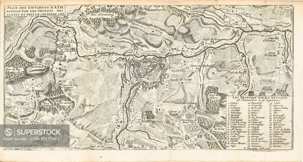
Siege of ATH, 1706; Plan des Environs d'Ath Assiegé Par les Troupes des Alliés et pris le 2 octobre 1706.kaart of Ath and surroundings, Bestorped and taken by the Allies on October 2, 1706. Illustration in the Dutch translation of 1716 by J. Lamigue, Life Van Zyne Hoogheit Johan Willem Friso, dl. I, p. 202/203.
SuperStock offers millions of photos, videos, and stock assets to creatives around the world. This image of Siege of ATH, 1706; Plan des Environs d'Ath Assiegé Par les Troupes des Alliés et pris le 2 octobre 1706.kaart of Ath and surroundings, Bestorped and taken by the Allies on October 2, 1706. Illustration in the Dutch translation of 1716 by J. Lamigue, Life Van Zyne Hoogheit Johan Willem Friso, dl. I, p. 202/203. by Piemags/PL Photography Limited is available for licensing today.
Looking for a license?
Click here, and we'll help you find it! Questions? Just ask!
Click here, and we'll help you find it! Questions? Just ask!
DETAILS
Image Number: 6145-30135681Royalty FreeCredit Line:Piemags/PL Photography Limited/SuperStockCollection:PL Photography Limited Contributor:Piemags Model Release:NoProperty Release:NoResolution:2500×1337