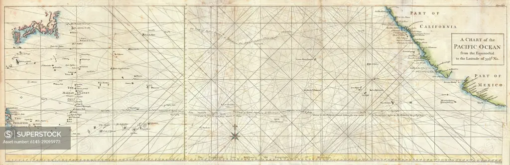
1748 Seale Map of the Pacific Ocean w- Trade Routes from Acapulco to Manila
SuperStock offers millions of photos, videos, and stock assets to creatives around the world. This image of Explore the Historic 1776 Chart of the Pacific Ocean - Maritime Routes and Coastal Landmarks Detailed. by Piemags/PL Photography Limited is available for licensing today.
DETAILS
Image Number: 6145-29095973Royalty FreeCredit Line:Piemags/PL Photography Limited/SuperStockCollection: