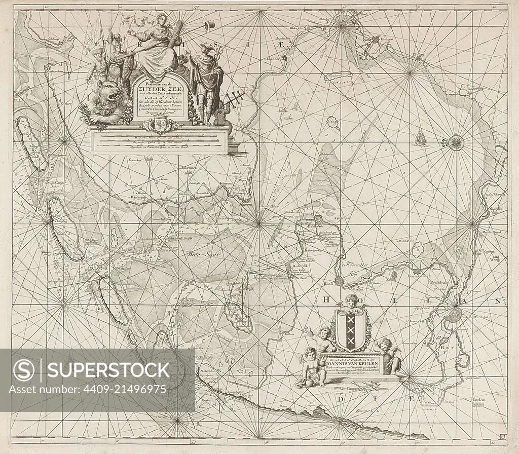
Sea chart of the Zuiderzee and the Wadden Sea, Jan Luyken, Johannes van Keulen (I), unknown, 1681 - 1799.
SuperStock offers millions of photos, videos, and stock assets to creatives around the world. This image of Explore the Intricate Details of a 17th Century Nautical Map of Asia - Historical Cartography by quintlox/Album Archivo/Album is available for licensing today.
Looking for a license?
Click here, and we'll help you find it! Questions? Just ask!
Click here, and we'll help you find it! Questions? Just ask!
DETAILS
Image Number: 4409-21496975Rights ManagedCredit Line:quintlox/Album Archivo/Album/SuperStockCollection:Album Archivo Contributor:quintlox Model Release:NoProperty Release:NoResolution:4372×3827