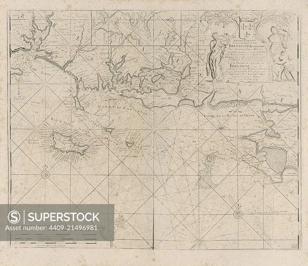
Sea chart of the coast of France between the island of Groix and the municipality of La Baule-Escoublac, Anonymous, Claes Jansz Voogt, Johannes van Keulen I, 1681 - 1803.
SuperStock offers millions of photos, videos, and stock assets to creatives around the world. This image of Explore Historic Maritime Routes with this Vintage Nautical Map - Unearth the Secrets of Ancient Navigation and Cartography Techniques. Perfect for History Enthusiasts and Collectors. by quintlox/Album Archivo/Album is available for licensing today.
Looking for a license?
Click here, and we'll help you find it! Questions? Just ask!
Click here, and we'll help you find it! Questions? Just ask!
DETAILS
Image Number: 4409-21496981Rights ManagedCredit Line:quintlox/Album Archivo/Album/SuperStockCollection:Album Archivo Contributor:quintlox Model Release:NoProperty Release:NoResolution:4340×3751