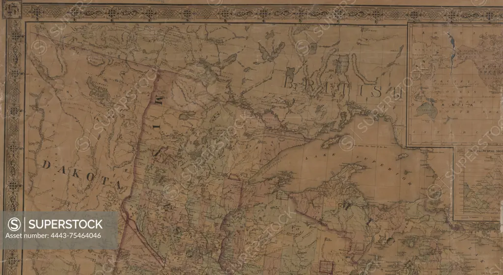
Schonberg's imperial map of the United States and Canada, 1865. Constructed, drawn, and compiled from the latest and best authorities by Schönberg & Co. The map is hand colored and measures 159 x 140 cm. Published in New York, N.Y
SuperStock offers millions of photos, videos, and stock assets to creatives around the world. This image of Schonberg's imperial map of the United States and Canada, 1865. Constructed, drawn, and compiled from the latest and best authorities by Schönberg & Co. The map is hand colored and measures 159 x 140 cm. Published in New York, N.Y by Artokoloro is available for licensing today.
Looking for a license?
Click here, and we'll help you find it! Questions? Just ask!
Click here, and we'll help you find it! Questions? Just ask!
DETAILS
Image Number: 4443-75464046Rights ManagedCredit Line:Artokoloro/SuperStockCollection:Artokoloro Model Release:NoProperty Release:NoResolution:5700×3121