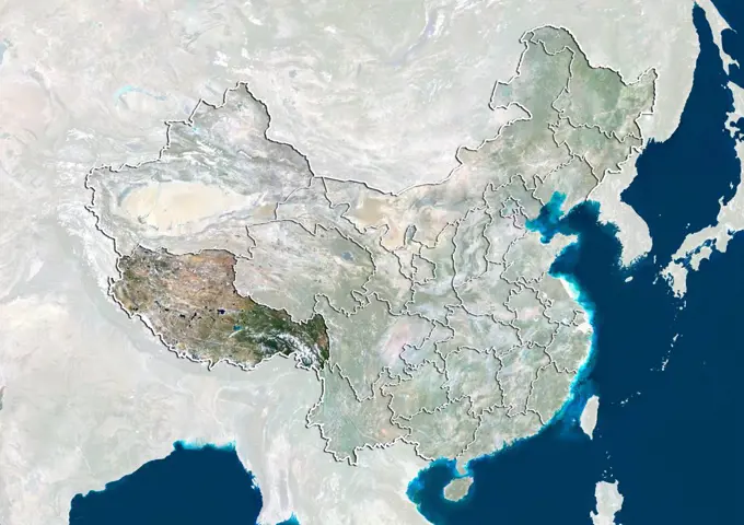
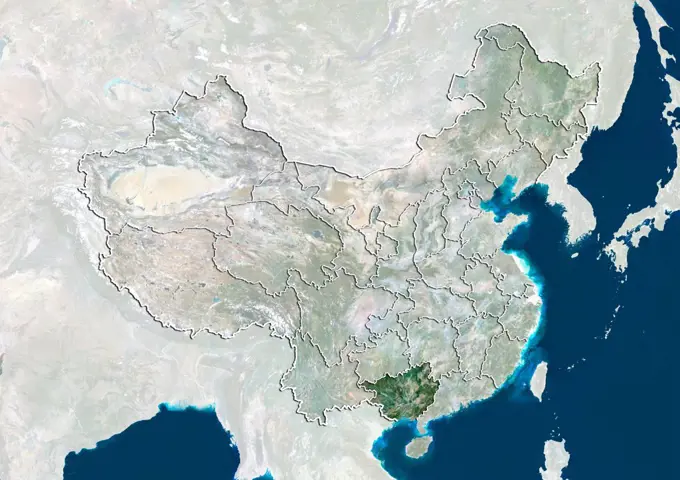
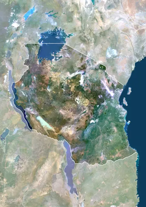
Satellite view of China with boundaries of provinces. This image was compiled from data acquired by LANDSAT 5 & 7 satellites.
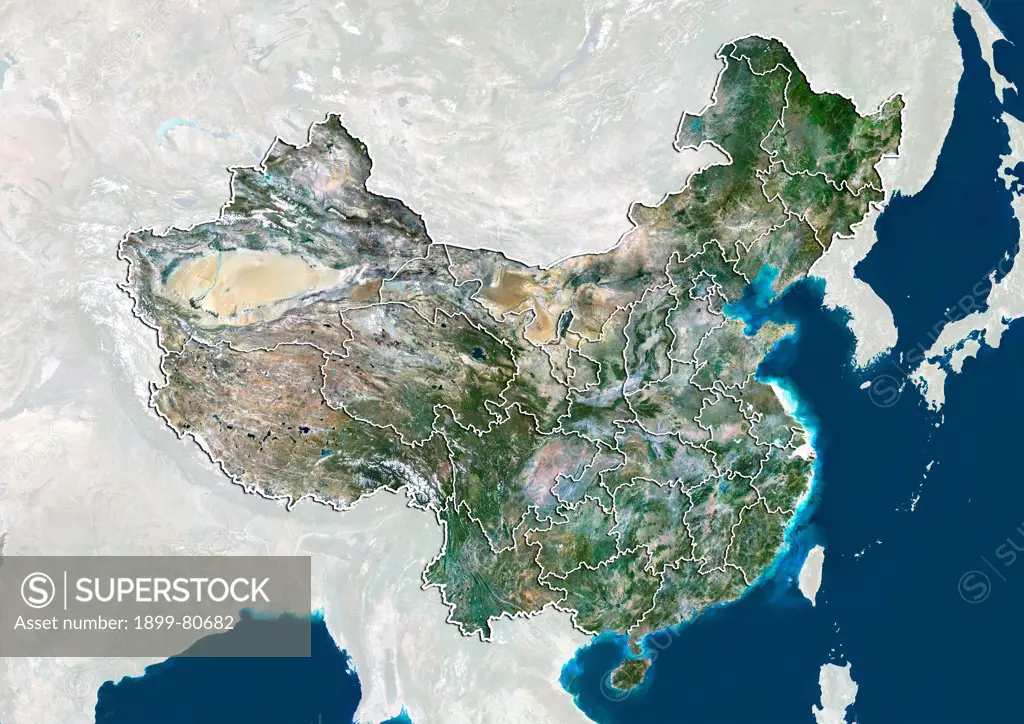
SuperStock offers millions of photos, videos, and stock assets to creatives around the world. This image of Satellite view of China with boundaries of provinces. This image was compiled from data acquired by LANDSAT 5 & 7 satellites. by Universal Images is available for licensing today.
Visually Similar More from Satellite Imagery of Asia story


Looking for a license?
Click here, and we'll help you find it! Questions? Just ask!
Click here, and we'll help you find it! Questions? Just ask!
DETAILS
Image Number: 1899-80682Rights ManagedCredit Line:Universal Images/SuperStockCollection:Universal Images Story:Satellite Imagery of AsiaModel Release:NoProperty Release:NoResolution:4961×3511