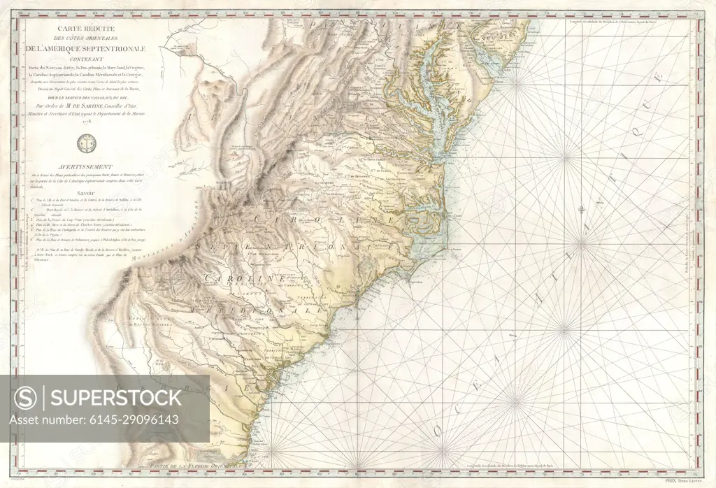
1778 Sartine Map of Georgia, North Carolina, South Carolina, Virginia and Maryland
SuperStock offers millions of photos, videos, and stock assets to creatives around the world. This image of Explore Historical Cartography: A Detailed View of Antoine Soulard's 1795 Map of the United States East Coast by Piemags/PL Photography Limited is available for licensing today.
Looking for a license?
Click here, and we'll help you find it! Questions? Just ask!
Click here, and we'll help you find it! Questions? Just ask!
DETAILS
Image Number: 6145-29096143Royalty FreeCredit Line:Piemags/PL Photography Limited/SuperStockCollection: