Rome and Central Italy, from the Peutinger Table (or map), copy of an ancient Roman chart showing the Empire's military road networks, 12th Century. Detail.
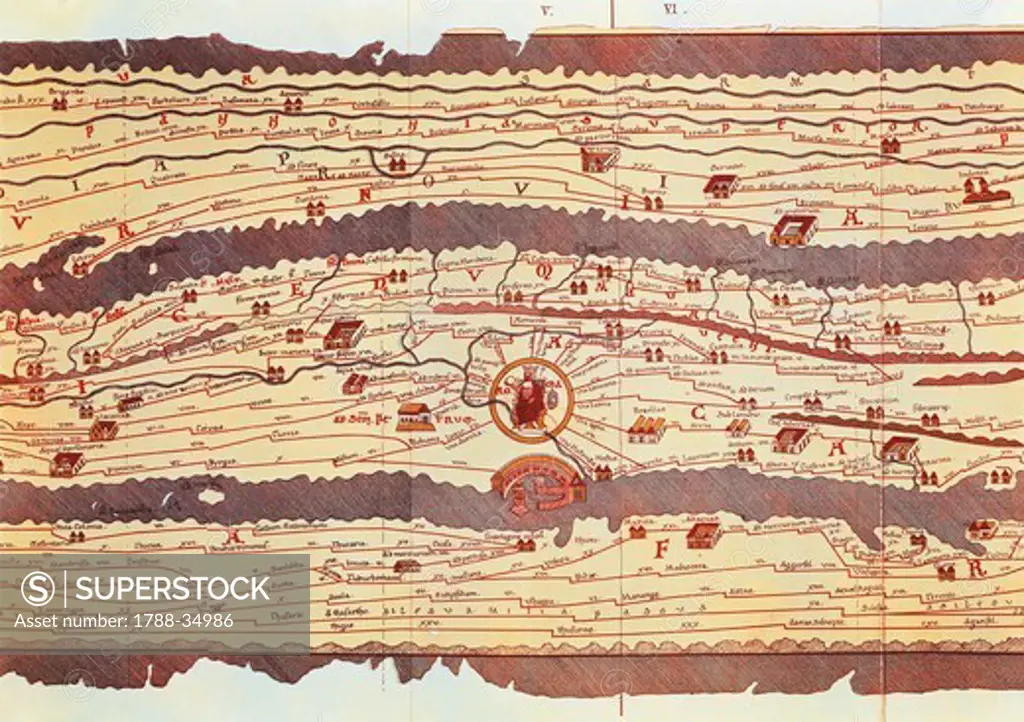
SuperStock offers millions of photos, videos, and stock assets to creatives around the world. This image of Rome and Central Italy, from the Peutinger Table (or map), copy of an ancient Roman chart showing the Empire's military road networks, 12th Century. Detail. by DeAgostini is available for licensing today.
Looking for a license?
Click here, and we'll help you find it! Questions? Just ask!
Click here, and we'll help you find it! Questions? Just ask!
DETAILS
Image Number: 1788-34986Rights ManagedCredit Line:DeAgostini/SuperStockCollection: