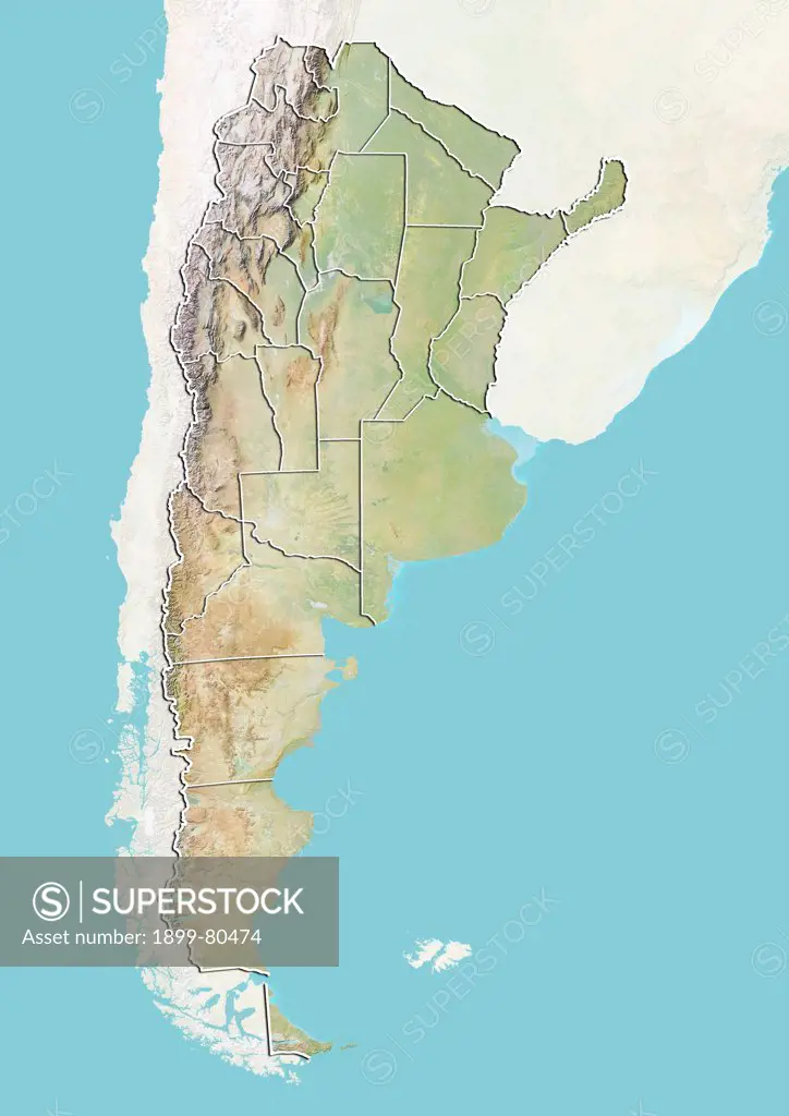
Relief map of Argentina with boundaries of provinces . This image was compiled from data acquired by LANDSAT 5 & 7 satellites combined with elevation data.
SuperStock offers millions of photos, videos, and stock assets to creatives around the world. This image of Relief map of Argentina with boundaries of provinces . This image was compiled from data acquired by LANDSAT 5 & 7 satellites combined with elevation data. by Universal Images is available for licensing today.
Looking for a license?
Click here, and we'll help you find it! Questions? Just ask!
Click here, and we'll help you find it! Questions? Just ask!
DETAILS
Image Number: 1899-80474Rights ManagedCredit Line:Universal Images/SuperStockCollection:Universal Images Model Release:NoProperty Release:NoResolution:3511×4961