The Quarterly Journal of the Geological Society of London, v. 34 (1878) London, geology, periodicals, historical map, A detailed map depicting the Outer Hebrides, highlighting the regions coastal topography and various maritime features. Notable for its intricate representation of islands, waterways, and depths, the map includes annotations for geographic landmarks and notable locations within the area. Waterways are marked in various shades, illustrating navigable routes, while landforms are depicted with contour lines and shading to indicate elevation. The legend provides a key for interpreting the symbols used throughout the map, which includes details such as soundings, orientation markers, and other navigational aids. Overall, it serves as a comprehensive guide for maritime exploration in this remote and scenic archipelago.
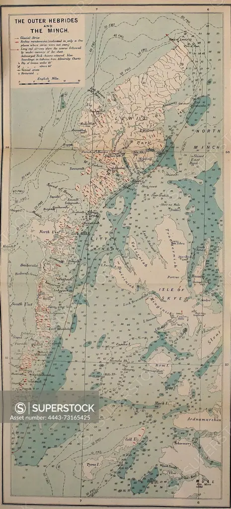
SuperStock offers millions of photos, videos, and stock assets to creatives around the world. This image of The Quarterly Journal of the Geological Society of London, v. 34 (1878) London, geology, periodicals, historical map, A detailed map depicting the Outer Hebrides, highlighting the regions coastal topography and various maritime features. Notable for its intricate representation of islands, waterways, and depths, the map includes annotations for geographic landmarks and notable locations within the area. Waterways are marked in various shades, illustrating navigable routes, while landforms are depicted with contour lines and shading to indicate elevation. The legend provides a key for interpreting the symbols used throughout the map, which includes details such as soundings, orientation markers, and other navigational aids. Overall, it serves as a comprehensive guide for maritime exploration in this remote and scenic archipelago. by Artokoloro is available for licensing today.
Looking for a license?
Click here, and we'll help you find it! Questions? Just ask!
Click here, and we'll help you find it! Questions? Just ask!
DETAILS
Image Number: 4443-73165425Rights ManagedCredit Line:Artokoloro/SuperStockCollection:Artokoloro Model Release:NoProperty Release:NoResolution:2534×5580