A preliminary map of the surface formations of the valley of the Passaic, extending eastward to Newark and southward to the Raritan River, issued in 1894 by the New Jersey Geological Survey. The map is titled 'Valley of the Passaic' and was published in Trenton, N.J. It measures 1 map in color, with dimensions of 88 x 62 cm on a sheet of 94 x 68 cm
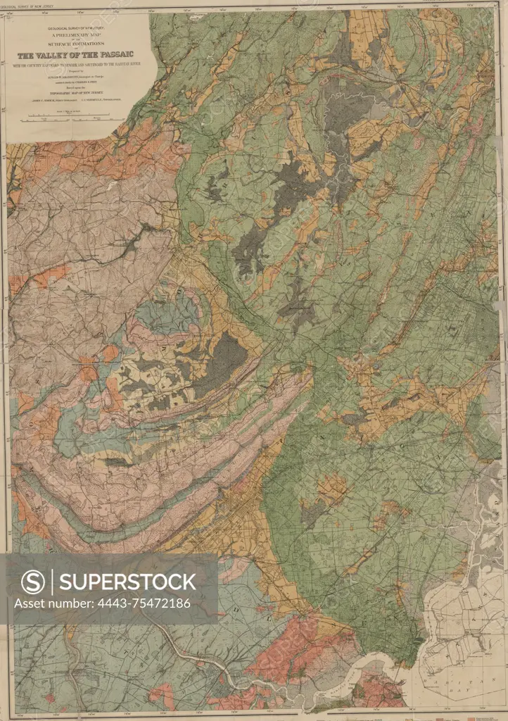
SuperStock offers millions of photos, videos, and stock assets to creatives around the world. This image of A preliminary map of the surface formations of the valley of the Passaic, extending eastward to Newark and southward to the Raritan River, issued in 1894 by the New Jersey Geological Survey. The map is titled 'Valley of the Passaic' and was published in Trenton, N.J. It measures 1 map in color, with dimensions of 88 x 62 cm on a sheet of 94 x 68 cm by Artokoloro is available for licensing today.
Looking for a license?
Click here, and we'll help you find it! Questions? Just ask!
Click here, and we'll help you find it! Questions? Just ask!
DETAILS
Image Number: 4443-75472186Rights ManagedCredit Line:Artokoloro/SuperStockCollection:Artokoloro Model Release:NoProperty Release:NoResolution:4022×5700