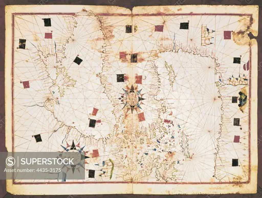
Portolan chart, 16th c. Map of the Eastern Mediterranean Sea and the Black sea. (Anonymous, it is believed to be made by Joan Martines or by his workshop). Renaissance art. Miniature Painting. SPAIN. CATALONIA. Barcelona. Barcelona Maritime Museum.
SuperStock offers millions of photos, videos, and stock assets to creatives around the world. This image of Portolan chart, 16th c. Map of the Eastern Mediterranean Sea and the Black sea. (Anonymous, it is believed to be made by Joan Martines or by his workshop). Renaissance art. Miniature Painting. SPAIN. CATALONIA. Barcelona. Barcelona Maritime Museum. by Iberfoto Archivo/Iberfoto is available for licensing today.
Looking for a license?
Click here, and we'll help you find it! Questions? Just ask!
Click here, and we'll help you find it! Questions? Just ask!
DETAILS
Image Number: 4435-3175Rights ManagedCredit Line:Iberfoto Archivo/Iberfoto/SuperStockCollection:Iberfoto Archivo Model Release:NoProperty Release:NoResolution:4961×3746