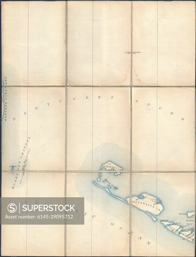
1887 Pocket Map Version of the U.S. Geological Survey Map of western Nantucket, Massachusetts
SuperStock offers millions of photos, videos, and stock assets to creatives around the world. This image of Explore Historic Nautical Charts: Nantucket Sound and Atlantic Ocean Map from 1800s by Piemags/PL Photography Limited is available for licensing today.
Looking for a license?
Click here, and we'll help you find it! Questions? Just ask!
Click here, and we'll help you find it! Questions? Just ask!
DETAILS
Image Number: 6145-29095712Royalty FreeCredit Line:Piemags/PL Photography Limited/SuperStockCollection: