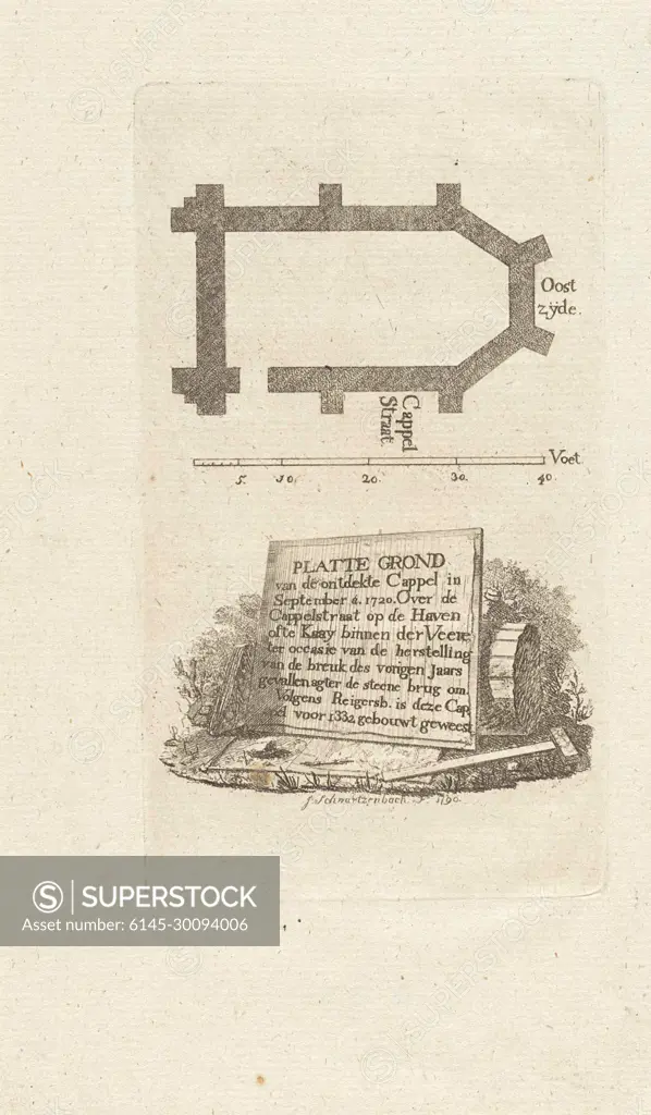
Plattegrond van een kapel in Veere.Map of the Chapel, which has been excavated in 1720 at Kapellestraat in Veere, with the scale. Including a sign that is a trunk against a tree trunk in Dutch.
SuperStock offers millions of photos, videos, and stock assets to creatives around the world. This image of Plattegrond van een kapel in Veere.Map of the Chapel, which has been excavated in 1720 at Kapellestraat in Veere, with the scale. Including a sign that is a trunk against a tree trunk in Dutch. by Piemags/PL Photography Limited is available for licensing today.
Looking for a license?
Click here, and we'll help you find it! Questions? Just ask!
Click here, and we'll help you find it! Questions? Just ask!
DETAILS
Image Number: 6145-30094006Royalty FreeCredit Line:Piemags/PL Photography Limited/SuperStockCollection:PL Photography Limited Contributor:Piemags Model Release:NoProperty Release:NoResolution:1460×2500