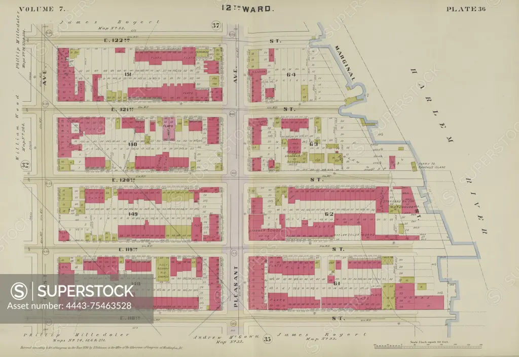
Plate 36 Map bounded by E. 122nd St., Harlem River, E. 118th St., and 1st Ave., issued in 1890 by E. Robinson Co. The map depicts real property in New York, New York
SuperStock offers millions of photos, videos, and stock assets to creatives around the world. This image of Plate 36 Map bounded by E. 122nd St., Harlem River, E. 118th St., and 1st Ave., issued in 1890 by E. Robinson Co. The map depicts real property in New York, New York by Artokoloro is available for licensing today.
Looking for a license?
Click here, and we'll help you find it! Questions? Just ask!
Click here, and we'll help you find it! Questions? Just ask!
DETAILS
Image Number: 4443-75463528Rights ManagedCredit Line:Artokoloro/SuperStockCollection:Artokoloro Model Release:NoProperty Release:NoResolution:6214×4289