Plate 11 features two maps Map No. 165, which is bounded by 3 Rod Road, Coles Road, and the Southern Westchester Turnpike; and Map No. 232, bounded by 6th Street, Prospect Avenue, the road leading from the Harlem Bridge to the Village of Westchester, Post Road, and Railroad Avenue. Both maps were issued between 1888 and 1897 by E. Robinson Co. in New York
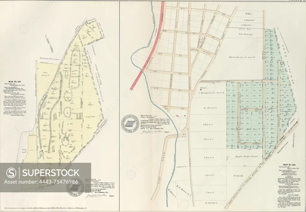
SuperStock offers millions of photos, videos, and stock assets to creatives around the world. This image of Plate 11 features two maps Map No. 165, which is bounded by 3 Rod Road, Coles Road, and the Southern Westchester Turnpike; and Map No. 232, bounded by 6th Street, Prospect Avenue, the road leading from the Harlem Bridge to the Village of Westchester, Post Road, and Railroad Avenue. Both maps were issued between 1888 and 1897 by E. Robinson Co. in New York by Artokoloro is available for licensing today.
Looking for a license?
Click here, and we'll help you find it! Questions? Just ask!
Click here, and we'll help you find it! Questions? Just ask!
DETAILS
Image Number: 4443-75476986Rights ManagedCredit Line:Artokoloro/SuperStockCollection:Artokoloro Model Release:NoProperty Release:NoResolution:5515×3831