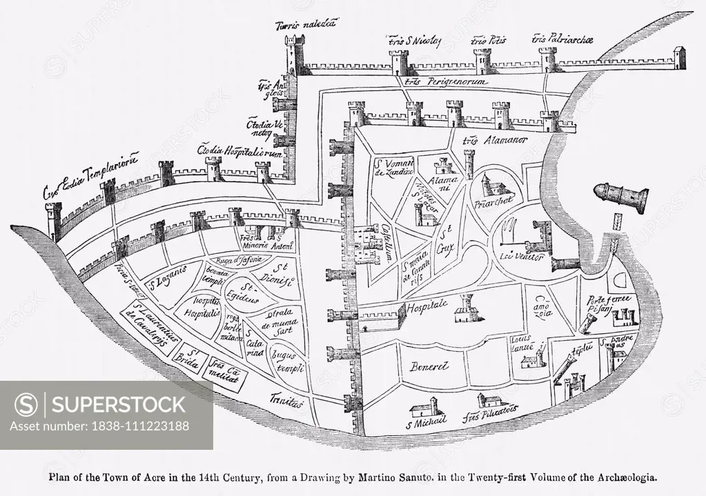
Plan of the Town of Acre in the 14th Century, from a Drawing by Martino Santo in the Twenty-Twenty-First Volume of the Archaeologia, Illustration from John Cassell's Illustrated History of England, Vol. I from the earliest period to the reign of Edward th
SuperStock offers millions of photos, videos, and stock assets to creatives around the world. This image of Plan of the Town of Acre in the 14th Century, from a Drawing by Martino Santo in the Twenty-Twenty-First Volume of the Archaeologia, Illustration from John Cassell's Illustrated History of England, Vol. I from the earliest period to the reign of Edward th by Glasshouse Images is available for licensing today.
Looking for a license?
Click here, and we'll help you find it! Questions? Just ask!
Click here, and we'll help you find it! Questions? Just ask!
DETAILS
Image Number: 1838-111223188Rights ManagedCredit Line:Glasshouse Images/SuperStockCollection:Glasshouse Images Model Release:NoProperty Release:NoResolution:5010×3522