Plan of part of the district of Maine, 1780 - 1789. The hand-colored map measures 34 x 40 cm on a sheet measuring 41 x 49 cm. The publisher is not identified. The map includes land grants
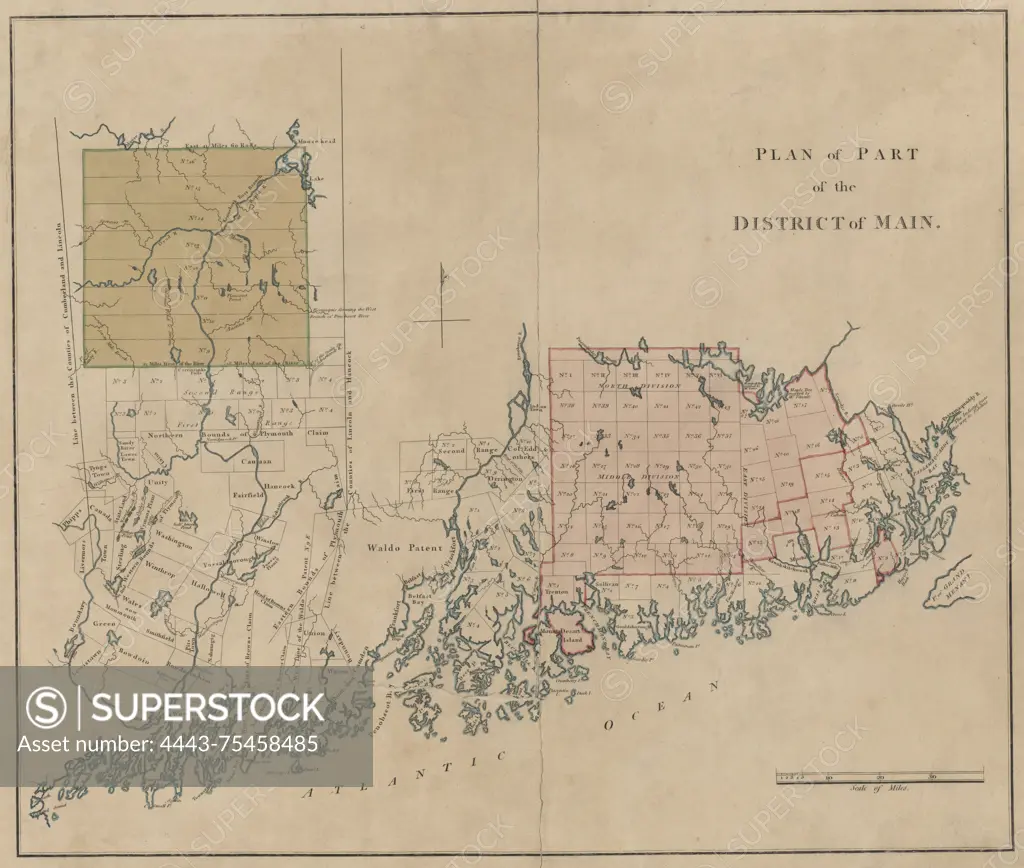
SuperStock offers millions of photos, videos, and stock assets to creatives around the world. This image of Plan of part of the district of Maine, 1780 - 1789. The hand-colored map measures 34 x 40 cm on a sheet measuring 41 x 49 cm. The publisher is not identified. The map includes land grants by Artokoloro is available for licensing today.
Looking for a license?
Click here, and we'll help you find it! Questions? Just ask!
Click here, and we'll help you find it! Questions? Just ask!
DETAILS
Image Number: 4443-75458485Rights ManagedCredit Line:Artokoloro/SuperStockCollection:Artokoloro Model Release:NoProperty Release:NoResolution:5700×4835