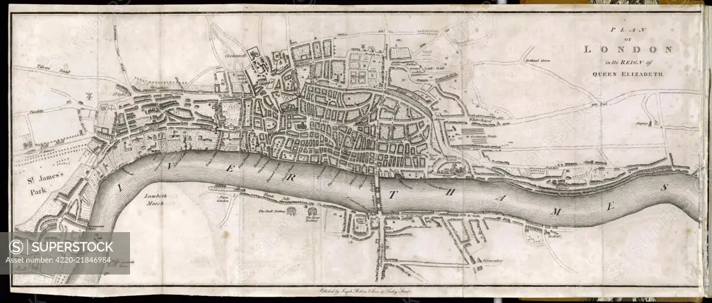
A plan of London in the reign of Queen Elizabeth I. Date: Circa 1580
SuperStock offers millions of photos, videos, and stock assets to creatives around the world. This image of Explore Historic London: Detailed 18th Century Map of the River Thames Area by Mary Evans Picture Library/Pantheon is available for licensing today.
Looking for a license?
Click here, and we'll help you find it! Questions? Just ask!
Click here, and we'll help you find it! Questions? Just ask!
DETAILS
Image Number: 4220-21846984Rights ManagedCredit Line:Mary Evans Picture Library/Pantheon/SuperStockCollection:Mary Evans Picture Library Model Release:YesProperty Release:NoResolution:5453×2327