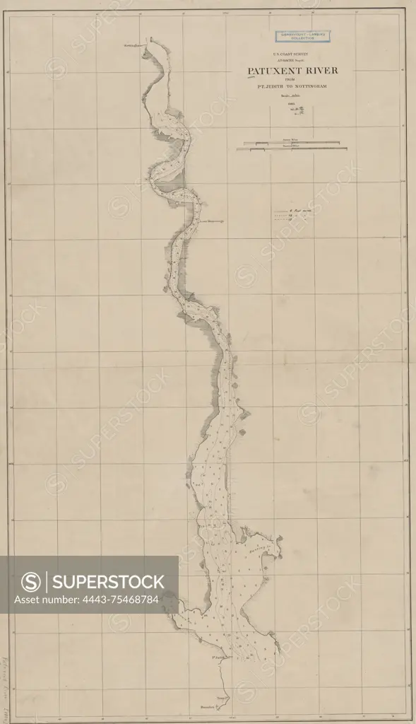
Patuxent River from Point Judith to Nottingham, 1860. This map is published by the United States Coast Survey and was issued in Washington, D.C. It measures 78 x 43 cm, with a sheet size of 84 x 50 cm
SuperStock offers millions of photos, videos, and stock assets to creatives around the world. This image of Patuxent River from Point Judith to Nottingham, 1860. This map is published by the United States Coast Survey and was issued in Washington, D.C. It measures 78 x 43 cm, with a sheet size of 84 x 50 cm by Artokoloro is available for licensing today.
Looking for a license?
Click here, and we'll help you find it! Questions? Just ask!
Click here, and we'll help you find it! Questions? Just ask!
DETAILS
Image Number: 4443-75468784Rights ManagedCredit Line:Artokoloro/SuperStockCollection:Artokoloro Model Release:NoProperty Release:NoResolution:3281×5700