A particular map of the River Sanaga, showcasing its various branches and the islands formed by them, created between 1745 and 1747. The map is attributed to Thomas Astley and was published in London by T. Astley. The work includes engravings
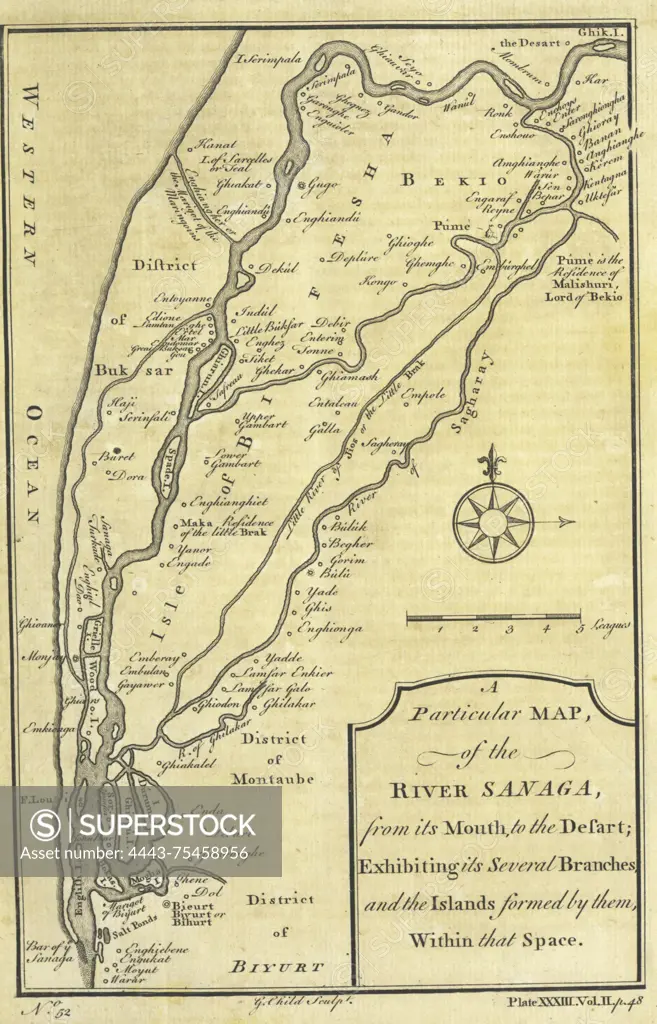
SuperStock offers millions of photos, videos, and stock assets to creatives around the world. This image of A particular map of the River Sanaga, showcasing its various branches and the islands formed by them, created between 1745 and 1747. The map is attributed to Thomas Astley and was published in London by T. Astley. The work includes engravings by Artokoloro is available for licensing today.
Looking for a license?
Click here, and we'll help you find it! Questions? Just ask!
Click here, and we'll help you find it! Questions? Just ask!
DETAILS
Image Number: 4443-75458956Rights ManagedCredit Line:Artokoloro/SuperStockCollection:Artokoloro Model Release:NoProperty Release:NoResolution:2432×3787