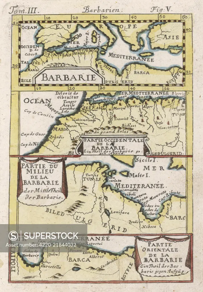
North-west Africa, showing portions of Barbary, land of the Berbers, known to Europeans as barbarians (today Morocco, Tunisia &c) Date: 1719
SuperStock offers millions of photos, videos, and stock assets to creatives around the world. This image of Explore Historical Cartography: Vintage Map of Barbary Coast and Mediterranean Regions - Antique Navigation and Exploration Insights by Mary Evans Picture Library/Pantheon is available for licensing today.
Looking for a license?
Click here, and we'll help you find it! Questions? Just ask!
Click here, and we'll help you find it! Questions? Just ask!
DETAILS
Image Number: 4220-21844032Rights ManagedCredit Line:Mary Evans Picture Library/Pantheon/SuperStockCollection: