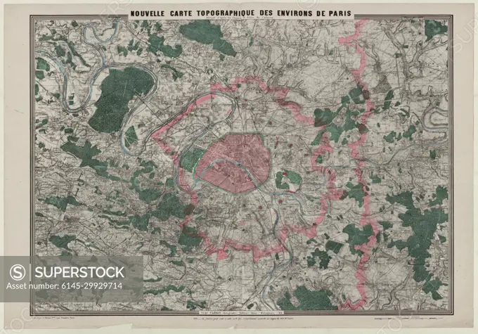
New topographic map of the Paris vicinity / erect according to the hunters and plans of the cadastres.
SuperStock offers millions of photos, videos, and stock assets to creatives around the world. This image of New topographic map of the Paris vicinity / erect according to the hunters and plans of the cadastres. by Piemags/PL Photography Limited is available for licensing today.
DETAILS
Image Number: 6145-29929714Royalty FreeCredit Line:Piemags/PL Photography Limited/SuperStockCollection:PL Photography Limited Contributor:Piemags Model Release:NoProperty Release:NoResolution:12720×8904