A new map of Upper & Lower Canada, dated December 1, 1807, published by J. Cary, engraver and map-seller in London. The map is hand-colored and measures 44 x 52 cm, depicting the Northeastern States, Ontario, and Québec
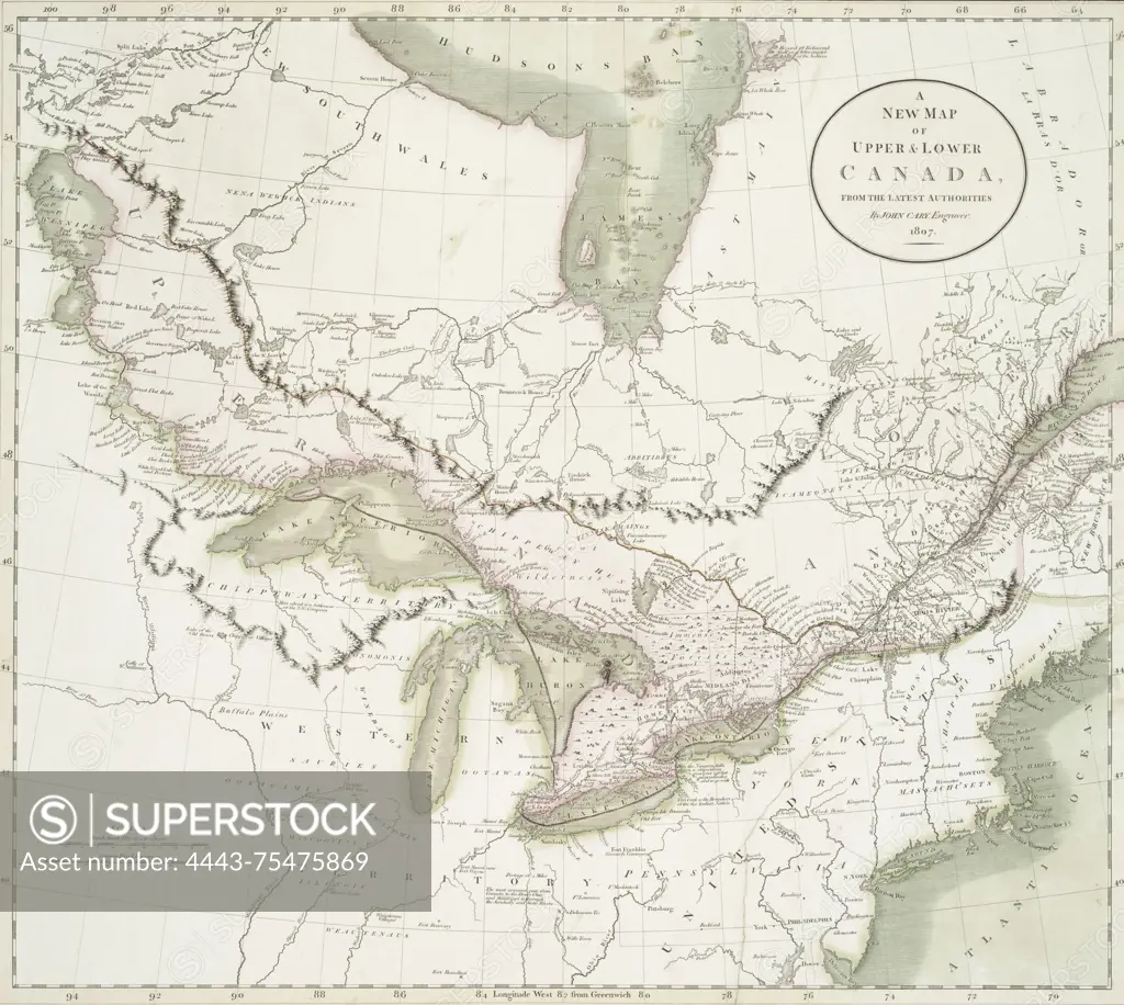
SuperStock offers millions of photos, videos, and stock assets to creatives around the world. This image of A new map of Upper & Lower Canada, dated December 1, 1807, published by J. Cary, engraver and map-seller in London. The map is hand-colored and measures 44 x 52 cm, depicting the Northeastern States, Ontario, and Québec by Artokoloro is available for licensing today.
Looking for a license?
Click here, and we'll help you find it! Questions? Just ask!
Click here, and we'll help you find it! Questions? Just ask!
DETAILS
Image Number: 4443-75475869Rights ManagedCredit Line:Artokoloro/SuperStockCollection:Artokoloro Model Release:NoProperty Release:NoResolution:4084×3657