A new map of the United States of America, created from the latest authorities, published on February 1, 1806, in London by J. Cary, engraver and map seller at No. 181 Strand. The map is hand-colored and measures 45 x 50 cm
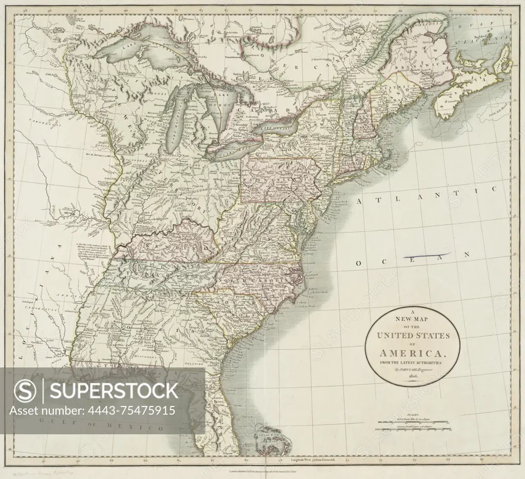
SuperStock offers millions of photos, videos, and stock assets to creatives around the world. This image of A new map of the United States of America, created from the latest authorities, published on February 1, 1806, in London by J. Cary, engraver and map seller at No. 181 Strand. The map is hand-colored and measures 45 x 50 cm by Artokoloro is available for licensing today.
Looking for a license?
Click here, and we'll help you find it! Questions? Just ask!
Click here, and we'll help you find it! Questions? Just ask!
DETAILS
Image Number: 4443-75475915Rights ManagedCredit Line:Artokoloro/SuperStockCollection:Artokoloro Model Release:NoProperty Release:NoResolution:3708×3375