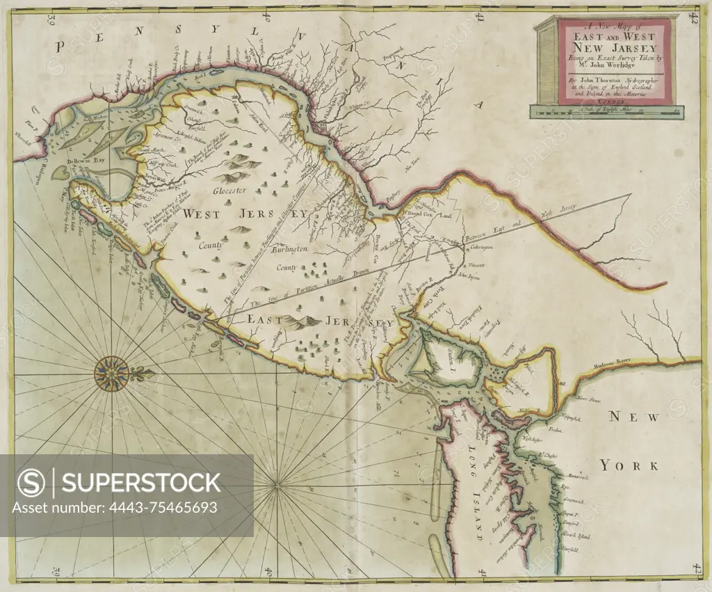
A new map of East and West New Jersey, created between 1702 and 1707 in London. It features nautical charts of the region
SuperStock offers millions of photos, videos, and stock assets to creatives around the world. This image of A new map of East and West New Jersey, created between 1702 and 1707 in London. It features nautical charts of the region by Artokoloro is available for licensing today.
Looking for a license?
Click here, and we'll help you find it! Questions? Just ask!
Click here, and we'll help you find it! Questions? Just ask!
DETAILS
Image Number: 4443-75465693Rights ManagedCredit Line:Artokoloro/SuperStockCollection:Artokoloro Model Release:NoProperty Release:NoResolution:4189×3483