A New and accurate map of New Jersey, published in 1780 by John Hinton in London. The map measures 31 x 26 cm and is categorized as an early work of New Jersey maps dating before 1800
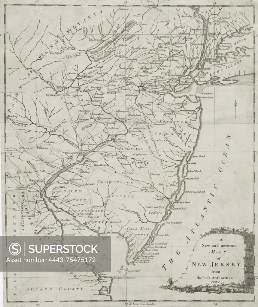
SuperStock offers millions of photos, videos, and stock assets to creatives around the world. This image of A New and accurate map of New Jersey, published in 1780 by John Hinton in London. The map measures 31 x 26 cm and is categorized as an early work of New Jersey maps dating before 1800 by Artokoloro is available for licensing today.
Looking for a license?
Click here, and we'll help you find it! Questions? Just ask!
Click here, and we'll help you find it! Questions? Just ask!
DETAILS
Image Number: 4443-75475172Rights ManagedCredit Line:Artokoloro/SuperStockCollection:Artokoloro Model Release:NoProperty Release:NoResolution:3970×4729