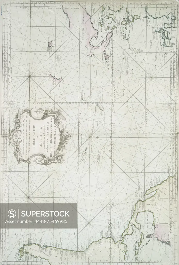
A nautical chart titled 'Carte reduite des mers comprises entre l'Asie et l'Amerique,' created in 1756. The map depicts the waters referred to by navigators as the South Sea or Pacific Ocean, intended for use by the King's vessels. It is a hand-colored map measuring 54 x 83 cm and was published by the Dépôt des cartes, plans et journaux de la marine in Paris
SuperStock offers millions of photos, videos, and stock assets to creatives around the world. This image of A nautical chart titled 'Carte reduite des mers comprises entre l'Asie et l'Amerique,' created in 1756. The map depicts the waters referred to by navigators as the South Sea or Pacific Ocean, intended for use by the King's vessels. It is a hand-colored map measuring 54 x 83 cm and was published by the Dépôt des cartes, plans et journaux de la marine in Paris by Artokoloro is available for licensing today.
Looking for a license?
Click here, and we'll help you find it! Questions? Just ask!
Click here, and we'll help you find it! Questions? Just ask!
DETAILS
Image Number: 4443-75469935Rights ManagedCredit Line:Artokoloro/SuperStockCollection:Artokoloro Model Release:NoProperty Release:NoResolution:3598×5305