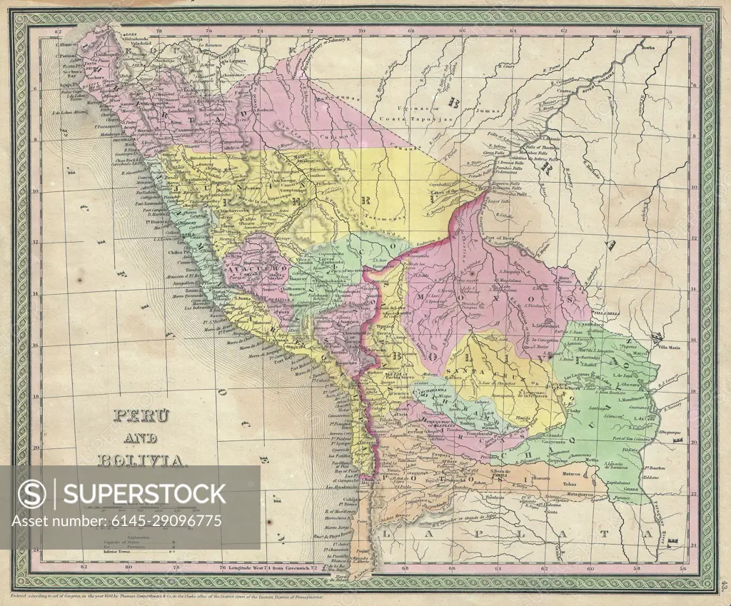
1850 Mitchell Map of Peru and Bolivia
SuperStock offers millions of photos, videos, and stock assets to creatives around the world. This image of Explore History with this Detailed Vintage Map of Peru and Bolivia - Discover Geographic and Political Boundaries from the Past. by Piemags/PL Photography Limited is available for licensing today.
DETAILS
Image Number: 6145-29096775Royalty FreeCredit Line:Piemags/PL Photography Limited/SuperStockCollection: