1864 Mitchell Map of North America
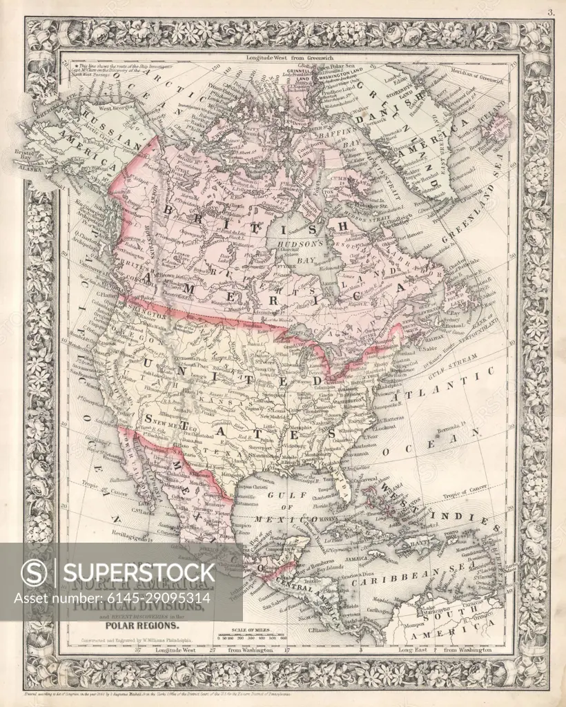
SuperStock offers millions of photos, videos, and stock assets to creatives around the world. This image of Explore the Historic Political Map of North America: 19th Century Geographical Divisions and Boundaries by Piemags/PL Photography Limited is available for licensing today.
DETAILS
Image Number: 6145-29095314Royalty FreeCredit Line:Piemags/PL Photography Limited/SuperStockCollection: