1864 Mitchell Map of Louisiana, Mississippi and Arkansas
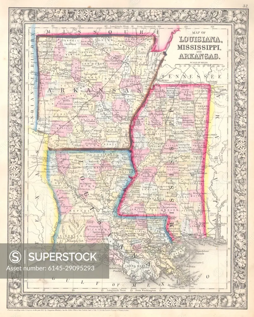
SuperStock offers millions of photos, videos, and stock assets to creatives around the world. This image of Explore the historical map of Louisiana, Mississippi, and Arkansas, showcasing 19th-century cartography and regional details. Perfect for history enthusiasts and map collectors! by Piemags/PL Photography Limited is available for licensing today.
DETAILS
Image Number: 6145-29095293Royalty FreeCredit Line:Piemags/PL Photography Limited/SuperStockCollection: