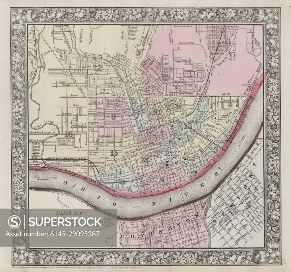
1864 Mitchell Map of Cincinnati. Ohio
SuperStock offers millions of photos, videos, and stock assets to creatives around the world. This image of Explore Historical Cincinnati: Vintage Map Highlighting 19th Century City Layout Along the Ohio River by Piemags/PL Photography Limited is available for licensing today.
DETAILS
Image Number: 6145-29095287Royalty FreeCredit Line:Piemags/PL Photography Limited/SuperStockCollection: