Middle East, True Colour Satellite Image. Middle East, true colour satellite image. North is at top. Vegetation is green, water is dark blue and bare ground, mostly desert, is yellow-brown. At centre is the Arabian Peninsula, mainly comprising Saudi Arabia, bordered on the left by the Red Sea and on the right by the Persian Gulf and the Arabian Sea (bottom right). Iran lies between the Caspian Sea (top right) and the Persian Gulf. To the right of Iran are Afghanistan and Pakistan, and to the lef
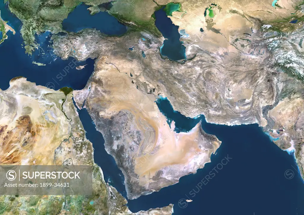
SuperStock offers millions of photos, videos, and stock assets to creatives around the world. This image of Middle East, True Colour Satellite Image. Middle East, true colour satellite image. North is at top. Vegetation is green, water is dark blue and bare ground, mostly desert, is yellow-brown. At centre is the Arabian Peninsula, mainly comprising Saudi Arabia, bordered on the left by the Red Sea and on the right by the Persian Gulf and the Arabian Sea (bottom right). Iran lies between the Caspian Sea (top right) and the Persian Gulf. To the right of Iran are Afghanistan and Pakistan, and to the lef by Universal Images is available for licensing today.
Looking for a license?
Click here, and we'll help you find it! Questions? Just ask!
Click here, and we'll help you find it! Questions? Just ask!
DETAILS
Image Number: 1899-34631Rights ManagedCredit Line:Universal Images/SuperStockCollection:Universal Images Model Release:NoProperty Release:NoResolution:4961×3508