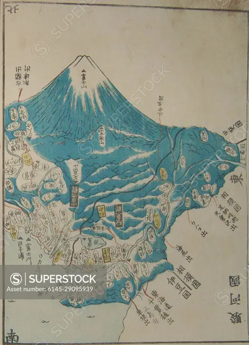
Maps of volcanoes in Japan, (Top right) detail, from- 1838 Woodblock Ino Tadataka Atlas of Japan or Kokugun Zenzu ( 2 volumes )
SuperStock offers millions of photos, videos, and stock assets to creatives around the world. This image of Historic Japanese Map Illustrating Mount Fuji and Surrounding Regions - Explore Cultural Heritage and Cartographic Artistry by Piemags/PL Photography Limited is available for licensing today.
DETAILS
Image Number: 6145-29095939Royalty FreeCredit Line:Piemags/PL Photography Limited/SuperStockCollection:PL Photography Limited Contributor:Piemags Model Release:NoProperty Release:NoResolution:968×1343