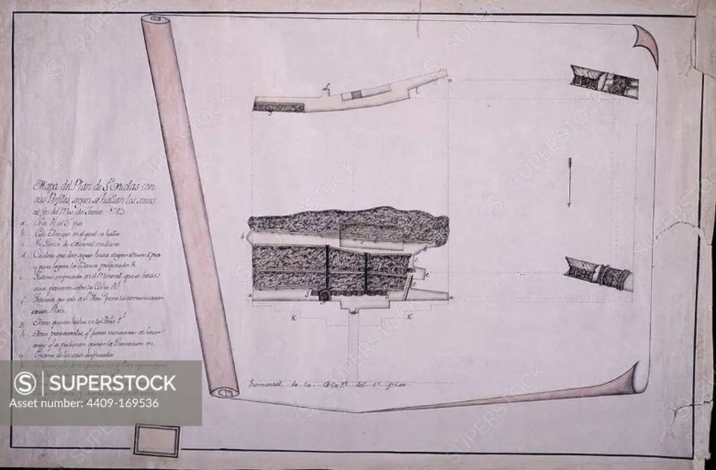
MAPA DEL PLAN DE SAN NICOLAS - 1789. Location: MINAS DE ALMADEN-ARRAYANES, CIUDAD REAL, SPAIN.
This asset has restrictions and cannot be purchased online. Get in touch for more details.
SuperStock offers millions of photos, videos, and stock assets to creatives around the world. This image of Explore Historical Engineering: Detailed Architectural Plan of Bordeaux's Pont de la Fraternité from 1822 by Oronoz/Album Archivo/Album is available for licensing today.
Looking for a license?
Click here, and we'll help you find it! Questions? Just ask!
Click here, and we'll help you find it! Questions? Just ask!
DETAILS
Image Number: 4409-169536Rights ManagedCredit Line:Oronoz/Album Archivo/Album/SuperStockCollection:Album Archivo Contributor:Oronoz Model Release:NoProperty Release:NoResolution:0×0