MAPA DE MEXICO-1779-PROVINCIAS DE ANTIGUA,CALIFORNIA,SONORA. Location: MUSEO NAVAL / MINISTERIO DE MARINA. MADRID. SPAIN.
This image has restrictions and cannot be purchased online. Get in touch for more details.
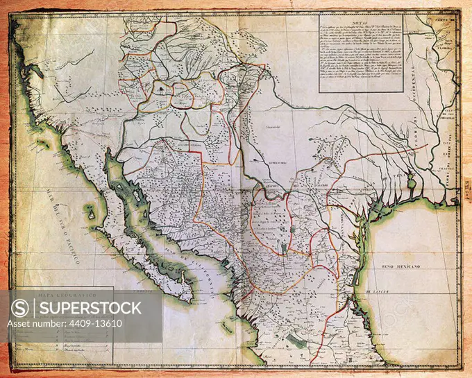
SuperStock offers millions of photos, videos, and stock assets to creatives around the world. This image of Explore Historic Cartography: Antique Map of Mexico and Southern United States Regions – Perfect for History Enthusiasts and Collectors. by Album/Oronoz/Album Archivo is available for licensing today.
DETAILS
Image Number: 4409-13610Rights ManagedCredit Line:Album/Oronoz/Album Archivo/SuperStockCollection:Album Archivo Contributor:Album / Oronoz Model Release:NoProperty Release:NoResolution:3550×2851