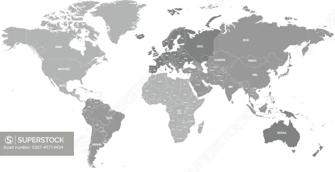
Map of World. Political map divided to six continents - North America, South America, Africa, Europe, Asia and Australia. Vector illustration in shades of grey with country name labels
SuperStock offers millions of photos, videos, and stock assets to creatives around the world. This image of Map of World. Political map divided to six continents - North America, South America, Africa, Europe, Asia and Australia. Vector illustration in shades of grey with country name labels by pyty/YayImages/YAY Images is available for licensing today.