A map of White Plains, Westchester County, New York, issued in 1868 by F.W. Beers. The map is in color and measures 57 x 60 cm, printed on a sheet that measures 59 x 64 cm. It includes details on courthouses, real property, and landowners in the area
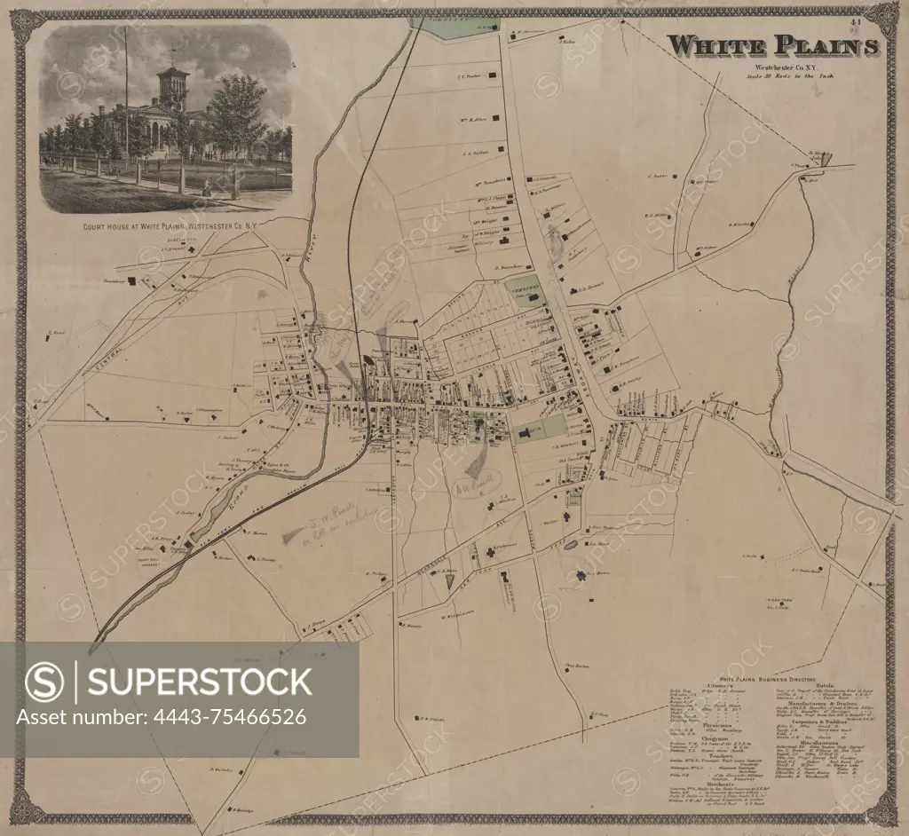
SuperStock offers millions of photos, videos, and stock assets to creatives around the world. This image of A map of White Plains, Westchester County, New York, issued in 1868 by F.W. Beers. The map is in color and measures 57 x 60 cm, printed on a sheet that measures 59 x 64 cm. It includes details on courthouses, real property, and landowners in the area by Artokoloro is available for licensing today.
Looking for a license?
Click here, and we'll help you find it! Questions? Just ask!
Click here, and we'll help you find it! Questions? Just ask!
DETAILS
Image Number: 4443-75466526Rights ManagedCredit Line:Artokoloro/SuperStockCollection:Artokoloro Model Release:NoProperty Release:NoResolution:5700×5248